Searching for the Dutch-Paris Escape Line
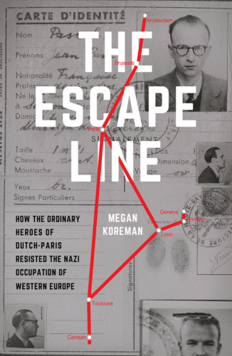
I’ve been thinking about maps of Dutch-Paris. The line covered so much territory that the story needs many maps: Dutch-Paris’s routes through the Netherlands, Belgium and France; maps of the clandestine crossing places from the Netherlands to Belgium, from France into Switzerland and from France to Spain; maps of Dutch-Paris places in the main cities along the route, Brussels, Paris, Lyon and Toulouse.
These maps would give a reader a sense of the distances that the line covered, thousands of miles across western Europe. They would illustrate that in Lyon almost all the Dutch-Paris addresses were in the same neighborhood, but in Paris and Brussels they were scattered all over. The map would show how far a resister might have had to walk from his or her apartment to a train station to meet fugitives or to another resister’s apartment for a meeting. It might even show the most obvious routes that resister might have taken.
But a map does not show how narrow the streets were or how exposed intersections might be. They give no sense of the quiet of city streets when most of the private cars have been put away for the duration so that the only vehicles making noise belonged to the occupation authorities, the police or public transit. A map of Lyon could give you a good idea of how far a 20 year old courier had to walk between the train station and her home, but not the sense of dread of streets emptied out by curfew and blacked out as an air raid precaution.
The maps show how the rivers acted as blockades, funneling pedestrians onto the easily policed bridges and how often a resister might have had to cross those bridges. But they do not indicate where the police might have decided to set up random document checks on any given day.
The maps would show how far a resister had to ride on a train from one city to another and perhaps indicate the terrain outside the window. But it gives no sense of what it was like to have to stand the whole way because the train was so crowded or what it was like to ride on a dark train through the night afraid the whole time that the tracks might be sabotaged or the train hit by bombs. Or that an inspector would notice that your documents were forged.
It’s entirely possible to map the streets of a wartime city and to mark particular addresses on that map. That would be a useful and valuable map that would give a reader an elementary understanding of the physical challenges facing helpers and fugitives as they moved across Europe toward freedom. But it would only be the most basic understanding of distances and routes. The map could not relay the atmosphere of the city, the everyday dangers of the streets of an occupied city or the courage that it might have taken to walk down them.


Leave a reply