Searching for the Dutch-Paris Escape Line
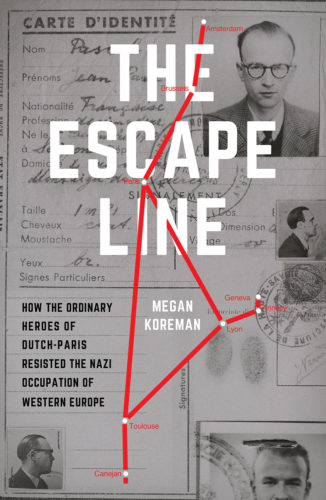
In the last post I asked how much a map of an occupied city can really show of what it would have been like to walk from one place to another in a city hushed by gasoline rationing, darkened by air raid precautions and filled with dread. We can ask the same question about clandestine border crossings.
A standard map of the Franco-Swiss border in the Genevois with the Dutch-Paris hiding and crossing places marked on it would certainly provide a sense of distances. A really detailed version might even include the no-man’s-land that fugitives had to run across before actually reaching safety in Switzerland. And it might be able to convey the looming hulk of Mt Salève on the French side of the border and the steep climb to and from the safe house above the village of Collonges and the border. The map would indicate the bridge that resisters and their charges hid under as they waited for German motorized patrols to zoom past or looked out for French gendarmes on foot. But can a map suggest the fear or excitement? Can it adequately portray the confusion of walking through fields in the dark without a compass to verify which way was freedom and which way occupation?
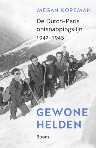
The difference between a route drawn on a standard map of the Pyrenees and the experience of walking that route in the dark during the war is even greater than a map of the Genevois because it took at least two nights to make that trek through the mountains to Spain if the weather was good and the German patrols were busy elsewhere. The weather was rarely good in the winter of 1943/44 and the German patrols not nearly distracted enough.
Most of the maps available today suggest the heights of the mountains using topographic lines but really highlight the roads because, of course, most people in the Pyrenees today travel by vehicle along the roads. In 1944 the Germans controlled the roads. Resisters and fugitives used the footpaths. But if you are not yourself a hiker or familiar with mountains, topographic maps are merely suggestive. They do not convey what spectacular obstacles the mountains were.
However, a friend gave me a French guide book to the Pyrenees from 1928, before many of today’s roads had even been built and when most people walked or rode horses. The book has many standard maps of towns showing the main streets and squares. But it also has a few panoramas of sections of the mountain range that fold out of the book to about 17 inches. Interestingly, these panoramas are drawn (literally drawn with pen and ink) from the perspective of a person standing in a valley looking into the mountains or standing on a particular mountain pass looking to the north or south. Now those are maps that draw your imagination into the mountains and give you a feeling for the hard climb up and down and up again. They are maps that begin to convey the desperation and exhaustion of trekking across the Pyrenees to freedom.


Leave a reply